 vesseltracker.com
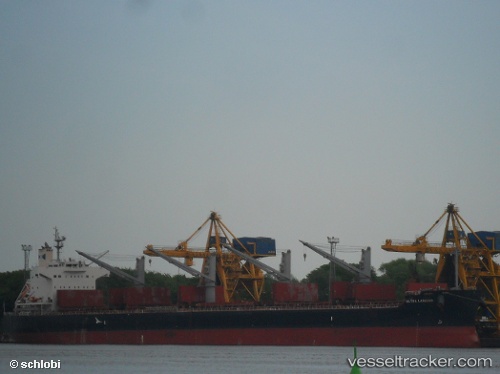
 DISKO ISLAND
Current Status
Where is the vessel?
DISKO ISLAND is currently in Near IZOLA, based on AIS data received less than 1h ago.
Latest AIS update:
Current position: 45.57822° N, 13.63595° E (Near IZOLA)
Average speed (last 7 days): Loading…
Average speed (last 30 days): Loading…
Vessel profile: DISKO ISLAND is a Bulk Carrier with dimensions m x m.
This page combines live AIS, route history, probable destination signals, nearby traffic, and port activity for practical vessel monitoring.
The current position of vessel DISKO ISLAND is 45.57822 lat / 13.63595 lng. Updated: 2026-04-02 09:58:42 UTCNearest reference points:
- Near IZOLA
- Near LUCIJA
- Near Ankaran
Currently sailing under the flag of Hong Kong ![]()
Details:
Live Vessel DISKO ISLAND Analytics (details, animations, etc.)
Recent AIS points (UTC):
2026-04-02 03:45:30 UTC · 44.78616, 13.51884 · SOG 11.1 kn · COG 327°2026-04-02 05:55:00 UTC · 45.16713, 13.23156 · SOG 10.5 kn · COG 348°
2026-04-02 08:17:22 UTC · 45.49253, 13.31582 · SOG 10.2 kn · COG 60°
2026-04-02 09:58:42 UTC · 45.57822, 13.63595 · SOG 4.6 kn · COG 90°