 vesseltracker.com
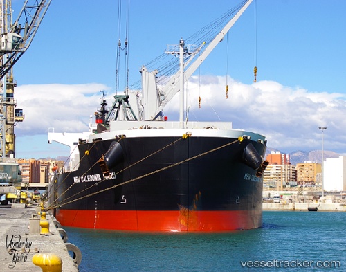
 Valentia Blue
Current Status
Where is the vessel?
Valentia Blue is currently in Near Mobile, based on AIS data received about 1h ago.
Latest AIS update:
Current position: 30.70300° N, 88.03636° W (Near Mobile)
Average speed (last 7 days): Loading…
Average speed (last 30 days): Loading…
Vessel profile: Valentia Blue is a Bulk Carrier with dimensions 190m x 32m.
This page combines live AIS, route history, probable destination signals, nearby traffic, and port activity for practical vessel monitoring.
The current position of vessel Valentia Blue is 30.70300 lat / -88.03636 lng. Updated: 2026-04-01 18:19:16 UTCNearest reference points:
- Near Mobile
- Near Pinto Island
- Near Chickasaw
Currently sailing under the flag of Liberia ![]()
Valentia Blue built in 2013 year
Deadweight:
58086 tDetails:
Live Vessel Valentia Blue Analytics (details, animations, etc.)
Recent AIS points (UTC):
2026-04-01 11:26:06 UTC · 30.70167, -88.03500 · SOG 0 kn · COG -1°2026-04-01 13:40:13 UTC · 30.70299, -88.03638 · SOG 0 kn · COG 178°
2026-04-01 16:05:05 UTC · 30.70167, -88.03500 · SOG 0 kn · COG -1°
2026-04-01 18:19:16 UTC · 30.70300, -88.03636 · SOG 0 kn · COG 177°