 vesseltracker.com
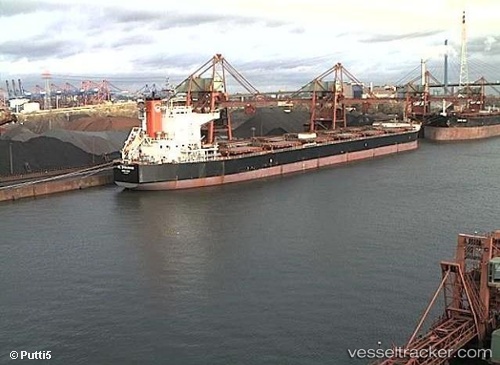
Madredeus
Current StatusWhere is the vessel?
Madredeus is currently in 36 nm NW of Pulau Jarak, based on AIS data received less than 1h ago.
Latest AIS update:
Current position: 4.20833° N, 99.54167° E (36 nm NW of Pulau Jarak)
Average speed (last 7 days): Loading…
Average speed (last 30 days): Loading…
Vessel profile: Madredeus is a Bulk Carrier with dimensions 38m x 240m.
This page combines live AIS, route history, probable destination signals, nearby traffic, and port activity for practical vessel monitoring.
The current position of vessel Madredeus is 4.20833 lat / 99.54167 lng. Updated: 2026-03-30 03:50:41 UTCNearest reference points:
- 43 nm NE of Perbaungan
- 10 nm NE of Belawan
- 43 nm NE of PANGKALAN SUSU
Details:
Live Vessel Madredeus Analytics (details, animations, etc.)
Recent AIS points (UTC):
2026-03-29 21:57:20 UTC · 3.43020, 100.38840 · SOG 11.5 kn · COG 312°2026-03-30 00:02:01 UTC · 3.71668, 100.08983 · SOG 12 kn · COG 311°
2026-03-30 01:50:48 UTC · 3.97333, 99.82833 · SOG 11 kn · COG -1°
2026-03-30 03:50:41 UTC · 4.20833, 99.54167 · SOG 10 kn · COG -1°