 vesseltracker.com
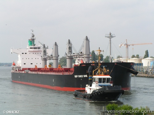
 SHARK ISLAND
Current Status
Where is the vessel?
SHARK ISLAND is currently in Near Iskenderun, based on AIS data received about 1h ago.
Latest AIS update:
Current position: 36.58872° N, 36.09728° E (Near Iskenderun)
Average speed (last 7 days): Loading…
Average speed (last 30 days): Loading…
Vessel profile: SHARK ISLAND is a Bulk Carrier with dimensions m x m.
This page combines live AIS, route history, probable destination signals, nearby traffic, and port activity for practical vessel monitoring.
The current position of vessel SHARK ISLAND is 36.58872 lat / 36.09728 lng. Updated: 2026-04-02 07:33:20 UTCNearest reference points:
- Near Iskenderun
- 13 nm W of Iskenderun
- Near DORTYOL
Currently sailing under the flag of Singapore ![]()
Details:
Live Vessel SHARK ISLAND Analytics (details, animations, etc.)
Recent AIS points (UTC):
2026-04-02 01:42:24 UTC · 36.58743, 36.09908 · SOG 0 kn · COG -1°2026-04-02 04:19:04 UTC · 36.58730, 36.09927 · SOG 0 kn · COG -1°
2026-04-02 05:21:16 UTC · 36.58785, 36.09836 · SOG 0.1 kn · COG 49°
2026-04-02 07:33:20 UTC · 36.58872, 36.09728 · SOG 0 kn · COG 66°