 vesseltracker.com
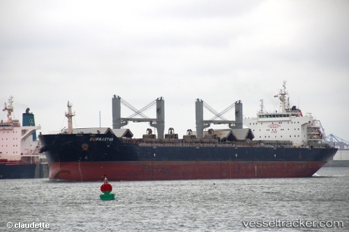
 MACHITIS
Current Status
Where is the vessel?
MACHITIS is currently in Near Chengxi, based on AIS data received about 5h ago.
Latest AIS update:
Current position: 31.92472° N, 120.22723° E (Near Chengxi)
Average speed (last 7 days): Loading…
Average speed (last 30 days): Loading…
Vessel profile: MACHITIS is a Bulk Carrier with dimensions m x m.
This page combines live AIS, route history, probable destination signals, nearby traffic, and port activity for practical vessel monitoring.
The current position of vessel MACHITIS is 31.92472 lat / 120.22723 lng. Updated: 2026-04-10 08:19:19 UTCNearest reference points:
- Near Chengxi
- Near Jiangyin Pt
- Near Jingjiang Pt
Currently sailing under the flag of Bahamas ![]()
Details:
Live Vessel MACHITIS Analytics (details, animations, etc.)
Recent AIS points (UTC):
2026-04-10 01:46:17 UTC · 31.92472, 120.22722 · SOG 0 kn · COG 266°2026-04-10 03:55:19 UTC · 31.92472, 120.22727 · SOG 0 kn · COG 266°
2026-04-10 05:43:06 UTC · 31.92469, 120.22719 · SOG 0 kn · COG 266°
2026-04-10 08:19:19 UTC · 31.92472, 120.22723 · SOG 0 kn · COG 266°