 vesseltracker.com
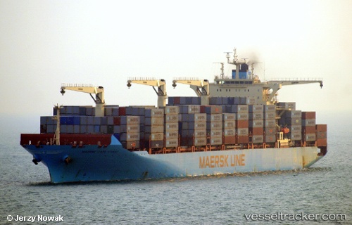
Maersk Cape Coast
Current StatusWhere is the vessel?
Maersk Cape Coast is currently in 232 nm E of Richards Bay, based on AIS data received less than 1h ago.
Latest AIS update:
Current position: 30.26686° S, 36.26431° E (232 nm E of Richards Bay)
Average speed (last 7 days): Loading…
Average speed (last 30 days): Loading…
Vessel profile: Maersk Cape Coast is a Container Ship with dimensions 38m x 249m.
This page combines live AIS, route history, probable destination signals, nearby traffic, and port activity for practical vessel monitoring.
The current position of vessel Maersk Cape Coast is -30.26686 lat / 36.26431 lng. Updated: 2026-04-01 12:07:34 UTCNearest reference points:
- 163 nm SE of Richards Bay
- Open sea, approx. 403 nm off the nearest listed port
- Open sea, approx. 402 nm off the nearest listed port
Details:
Live Vessel Maersk Cape Coast Analytics (details, animations, etc.)
Recent AIS points (UTC):
2026-04-01 05:48:00 UTC · -29.50447, 38.10144 · SOG 16.7 kn · COG 246°2026-04-01 07:58:00 UTC · -29.75893, 37.47380 · SOG 16.9 kn · COG 243°
2026-04-01 10:10:22 UTC · -30.03708, 36.84723 · SOG 17 kn · COG 243°
2026-04-01 12:07:34 UTC · -30.26686, 36.26431 · SOG 17.2 kn · COG 236°