 vesseltracker.com
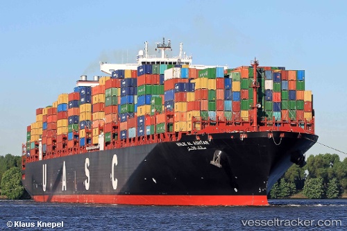
 TANGIER EXPRESS
Current Status
Where is the vessel?
TANGIER EXPRESS is currently in 14 nm SE of Isle of Palms, based on AIS data received about 3h ago.
Latest AIS update:
Current position: 32.60966° N, 79.57279° W (14 nm SE of Isle of Palms)
Average speed (last 7 days): Loading…
Average speed (last 30 days): Loading…
Vessel profile: TANGIER EXPRESS is a Container Ship with dimensions m x m.
This page combines live AIS, route history, probable destination signals, nearby traffic, and port activity for practical vessel monitoring.
The current position of vessel TANGIER EXPRESS is 32.60966 lat / -79.57279 lng. Updated: 2026-03-28 19:22:15 UTCNearest reference points:
- Near Charleston
- 33 nm S of Kiawah Island
- Near North Myrtle Beach
Currently sailing under the flag of Liberia ![]()
Details:
Live Vessel TANGIER EXPRESS Analytics (details, animations, etc.)
Recent AIS points (UTC):
2026-03-28 13:42:52 UTC · 32.83073, -79.89310 · SOG 0 kn · COG 21°2026-03-28 16:21:55 UTC · 32.83073, -79.89309 · SOG 0 kn · COG 21°
2026-03-28 17:53:05 UTC · 32.79177, -79.91743 · SOG 8 kn · COG 172°
2026-03-28 19:22:15 UTC · 32.60966, -79.57279 · SOG 13.1 kn · COG 116°