 vesseltracker.com
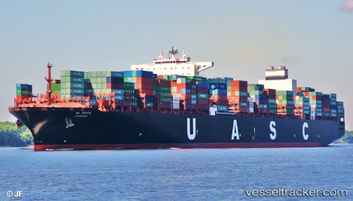
 AL RIFFA
Current Status
Where is the vessel?
AL RIFFA is currently in 16 nm E of Broadstairs, based on AIS data received less than 1h ago.
Latest AIS update:
Current position: 51.36500° N, 1.85074° E (16 nm E of Broadstairs)
Average speed (last 7 days): Loading…
Average speed (last 30 days): Loading…
Vessel profile: AL RIFFA is a Container Ship with dimensions m x m.
This page combines live AIS, route history, probable destination signals, nearby traffic, and port activity for practical vessel monitoring.
The current position of vessel AL RIFFA is 51.36500 lat / 1.85074 lng. Updated: 2026-03-29 11:45:04 UTCNearest reference points:
- 15 nm E of RAMSGATE
- 14 nm SE of RAMSGATE
- Near Broadstairs
Currently sailing under the flag of Liberia ![]()
Details:
Live Vessel AL RIFFA Analytics (details, animations, etc.)
Recent AIS points (UTC):
2026-03-29 06:11:35 UTC · 51.48928, 0.81100 · SOG 15.8 kn · COG 87°2026-03-29 07:54:57 UTC · 51.69497, 1.45926 · SOG 17.4 kn · COG 45°
2026-03-29 09:58:58 UTC · 51.65569, 1.76782 · SOG 10.9 kn · COG 158°
2026-03-29 11:45:04 UTC · 51.36500, 1.85074 · SOG 9 kn · COG 198°