 vesseltracker.com
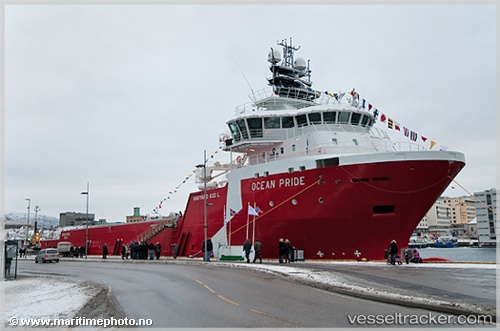
 GRIP MARINE
Current Status
Where is the vessel?
GRIP MARINE is currently in Near Puerto Montt, based on AIS data received less than 1h ago.
Latest AIS update:
Current position: 41.52385° S, 73.03057° W (Near Puerto Montt)
Average speed (last 7 days): Loading…
Average speed (last 30 days): Loading…
Vessel profile: GRIP MARINE is a Offshore Supply Ship with dimensions m x m.
This page combines live AIS, route history, probable destination signals, nearby traffic, and port activity for practical vessel monitoring.
The current position of vessel GRIP MARINE is -41.52385 lat / -73.03057 lng. Updated: 2026-04-03 05:50:14 UTCNearest reference points:
- Near Puerto Montt
- Near Chonchi
- Near Quellón (Puerto Quellón)
Details:
Live Vessel GRIP MARINE Analytics (details, animations, etc.)
Recent AIS points (UTC):
2026-04-02 23:50:18 UTC · -41.52375, -73.03057 · SOG 0 kn · COG 343°2026-04-03 01:35:36 UTC · -41.52385, -73.03056 · SOG 0 kn · COG 320°
2026-04-03 03:41:39 UTC · -41.52387, -73.03066 · SOG 0 kn · COG 350°
2026-04-03 05:50:14 UTC · -41.52385, -73.03057 · SOG 0 kn · COG 345°