 vesseltracker.com
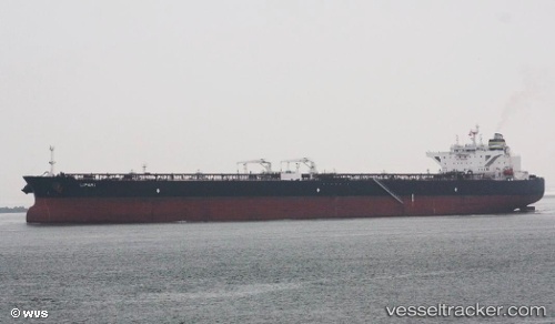
 LIPARI
Current Status
Where is the vessel?
LIPARI is currently in 23 nm S of Campredo, based on AIS data received less than 1h ago.
Latest AIS update:
Current position: 40.36054° N, 2.79939° E (23 nm S of Campredo)
Average speed (last 7 days): Loading…
Average speed (last 30 days): Loading…
Vessel profile: LIPARI is a Crude Oil Tanker with dimensions 48m x 274m.
This page combines live AIS, route history, probable destination signals, nearby traffic, and port activity for practical vessel monitoring.
The current position of vessel LIPARI is 40.36054 lat / 2.79939 lng. Updated: 2026-03-31 07:21:31 UTCNearest reference points:
- Near El Port
- Near Alcudia
- Near Palma
Currently sailing under the flag of Liberia ![]()
LIPARI built in 2012 year
Deadweight:
158237 tDetails:
Live Vessel LIPARI Analytics (details, animations, etc.)
Recent AIS points (UTC):
2026-03-31 00:22:37 UTC · 39.34174, 1.26242 · SOG 13.8 kn · COG -1°2026-03-31 00:22:37 UTC · 39.34174, 1.26242 · SOG 13.8 kn · COG -1°
2026-03-31 06:11:25 UTC · 40.21487, 2.57233 · SOG 13.3 kn · COG -1°
2026-03-31 07:21:31 UTC · 40.36054, 2.79939 · SOG 10.8 kn · COG -1°