 vesseltracker.com
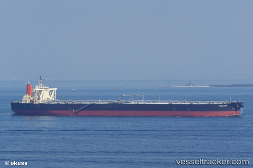
 HAKUSAN
Current Status
Where is the vessel?
HAKUSAN is currently in 236 nm N of Tinaquillo, based on AIS data received about 3h ago.
Latest AIS update:
Current position: 13.71391° N, 67.25183° E (236 nm N of Tinaquillo)
Average speed (last 7 days): Loading…
Average speed (last 30 days): Loading…
Vessel profile: HAKUSAN is a Crude Oil Tanker with dimensions 333m x 60m.
This page combines live AIS, route history, probable destination signals, nearby traffic, and port activity for practical vessel monitoring.
The current position of vessel HAKUSAN is 13.71391 lat / 67.25183 lng. Updated: 2026-04-09 10:28:57 UTCNearest reference points:
- 187 nm N of Tinaquillo
- 198 nm N of Tinaquillo
- 282 nm W of RATNAGIRI
Currently sailing under the flag of Japan ![]()
HAKUSAN built in 2011 year
Deadweight:
305350 tDetails:
Live Vessel HAKUSAN Analytics (details, animations, etc.)
Recent AIS points (UTC):
2026-04-09 07:14:53 UTC · 13.76499, 67.23472 · SOG 0.8 kn · COG -1°2026-04-09 07:14:53 UTC · 13.76499, 67.23472 · SOG 0.8 kn · COG -1°
2026-04-09 10:28:57 UTC · 13.71391, 67.25183 · SOG 0.9 kn · COG 232°
2026-04-09 10:28:57 UTC · 13.71391, 67.25183 · SOG 0.9 kn · COG 232°