 vesseltracker.com
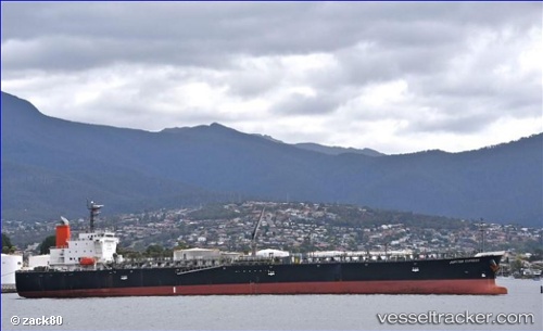
 GATEWAY
Current Status
Where is the vessel?
GATEWAY is currently in Near Nansha, based on AIS data received about 1h ago.
Latest AIS update:
Current position: 22.68141° N, 113.66405° E (Near Nansha)
Average speed (last 7 days): Loading…
Average speed (last 30 days): Loading…
Vessel profile: GATEWAY is a Oil Products Tanker with dimensions m x m.
This page combines live AIS, route history, probable destination signals, nearby traffic, and port activity for practical vessel monitoring.
The current position of vessel GATEWAY is 22.68141 lat / 113.66405 lng. Updated: 2026-04-02 11:43:14 UTCNearest reference points:
- Near Nansha
- Near Fuyong
- Near Nansha Pt
Currently sailing under the flag of India ![]()
Details:
Live Vessel GATEWAY Analytics (details, animations, etc.)
Recent AIS points (UTC):
2026-04-02 06:01:13 UTC · 22.68158, 113.66401 · SOG 0.1 kn · COG 239°2026-04-02 07:43:11 UTC · 22.68157, 113.66396 · SOG 0.1 kn · COG 239°
2026-04-02 09:40:15 UTC · 22.68158, 113.66387 · SOG 0 kn · COG 239°
2026-04-02 11:43:14 UTC · 22.68141, 113.66405 · SOG 0.1 kn · COG 239°