 vesseltracker.com
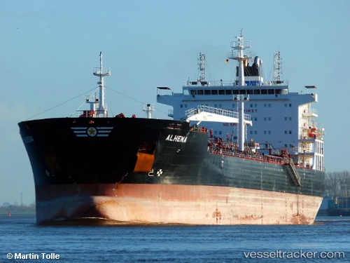
 ANGIE
ANGIE
Current Status
Where is the vessel?
ANGIE is currently in 39 nm W of Vikati Sadam, based on AIS data received about 1h ago.
Latest AIS update:
Current position: 58.34354° N, 20.61726° E (39 nm W of Vikati Sadam)
Average speed (last 7 days): Loading…
Average speed (last 30 days): Loading…
Vessel profile: ANGIE is a Oil/Chemical Tanker with dimensions m x m.
This page combines live AIS, route history, probable destination signals, nearby traffic, and port activity for practical vessel monitoring.
The current position of vessel ANGIE is 58.34354 lat / 20.61726 lng. Updated: 2026-04-20 02:00:02 UTCNearest reference points:
- 37 nm W of Vikati Sadam
- 20 nm W of Kalana
- 18 nm N of Ventspils
Currently sailing under the flag of Liberia ![]()
Details:
Live Vessel ANGIE Analytics (details, animations, etc.)
Recent AIS points (UTC):
2026-04-19 22:16:51 UTC · 59.01832, 21.44135 · SOG 12.7 kn · COG 209°2026-04-20 00:07:21 UTC · 58.68476, 21.03248 · SOG 12.9 kn · COG 207°
2026-04-20 01:23:52 UTC · 58.45233, 20.75052 · SOG 12.8 kn · COG 210°
2026-04-20 02:00:02 UTC · 58.34354, 20.61726 · SOG 12.9 kn · COG 209°