 vesseltracker.com
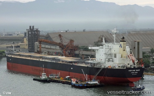
 THALEIA
Current Status
Where is the vessel?
THALEIA is currently in Near Seaforth, based on AIS data received less than 1h ago.
Latest AIS update:
Current position: 53.45896° N, 3.02188° W (Near Seaforth)
Average speed (last 7 days): Loading…
Average speed (last 30 days): Loading…
Vessel profile: THALEIA is a Bulk Carrier with dimensions m x m.
This page combines live AIS, route history, probable destination signals, nearby traffic, and port activity for practical vessel monitoring.
The current position of vessel THALEIA is 53.45896 lat / -3.02188 lng. Updated: 2026-03-29 03:27:21 UTCNearest reference points:
- Near BIRKENHEAD
- Near ELLESMERE
- Near LIVERPOOL ANCH
Currently sailing under the flag of Liberia ![]()
Details:
Live Vessel THALEIA Analytics (details, animations, etc.)
Recent AIS points (UTC):
2026-03-28 21:54:22 UTC · 53.45889, -3.02176 · SOG 0 kn · COG 71°2026-03-29 00:06:26 UTC · 53.45890, -3.02188 · SOG 0 kn · COG 71°
2026-03-29 01:09:25 UTC · 53.45893, -3.02180 · SOG 0 kn · COG 71°
2026-03-29 03:27:21 UTC · 53.45896, -3.02188 · SOG 0 kn · COG 71°