 vesseltracker.com
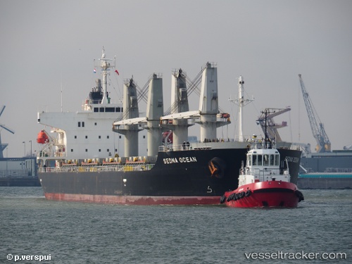
 MANTA CICEK
Current Status
Where is the vessel?
MANTA CICEK is currently in 286 nm NE of Cockburn Town, based on AIS data received about 1h ago.
Latest AIS update:
Current position: 27.37667° N, 70.75833° W (286 nm NE of Cockburn Town)
Average speed (last 7 days): Loading…
Average speed (last 30 days): Loading…
Vessel profile: MANTA CICEK is a Bulk Carrier with dimensions 175m x 29m.
This page combines live AIS, route history, probable destination signals, nearby traffic, and port activity for practical vessel monitoring.
The current position of vessel MANTA CICEK is 27.37667 lat / -70.75833 lng. Updated: 2026-03-27 02:03:32 UTCCurrently sailing under the flag of Marshall Islands ![]()
MANTA CICEK built in 2011 year
Deadweight:
31997 tDetails:
Live Vessel MANTA CICEK Analytics (details, animations, etc.)
Recent AIS points (UTC):
2026-03-26 20:03:32 UTC · 27.09500, -71.83167 · SOG 10 kn · COG -1°2026-03-26 22:06:31 UTC · 27.19500, -71.46333 · SOG 10 kn · COG -1°
2026-03-26 23:31:10 UTC · 27.25889, -71.20940 · SOG 9.8 kn · COG 70°
2026-03-27 02:03:32 UTC · 27.37667, -70.75833 · SOG 9 kn · COG -1°