 vesseltracker.com
 NEPTUNE ISLAND
Current Status
Where is the vessel?
NEPTUNE ISLAND is currently in 113 nm NE of Tambanum, based on AIS data received less than 1h ago.
Latest AIS update:
Current position: 2.69792° S, 144.74483° E (113 nm NE of Tambanum)
Average speed (last 7 days): Loading…
Average speed (last 30 days): Loading…
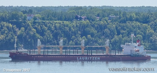
Vessel profile: NEPTUNE ISLAND is a Bulk Carrier with dimensions 185m x 31m.
This page combines live AIS, route history, probable destination signals, nearby traffic, and port activity for practical vessel monitoring.
The current position of vessel NEPTUNE ISLAND is -2.69792 lat / 144.74483 lng. Updated: 2026-03-29 14:10:26 UTCCurrently sailing under the flag of Hong Kong, China ![]()
NEPTUNE ISLAND built in 2012 year
Deadweight:
38191 tDetails:
Live Vessel NEPTUNE ISLAND Analytics (details, animations, etc.)
Recent AIS points (UTC):
2026-03-29 08:01:57 UTC · -3.43559, 145.48422 · SOG 10 kn · COG 314°2026-03-29 10:21:13 UTC · -3.15689, 145.21278 · SOG 10.2 kn · COG 312°
2026-03-29 11:47:04 UTC · -2.99499, 145.03378 · SOG 10.1 kn · COG 311°
2026-03-29 14:10:26 UTC · -2.69792, 144.74483 · SOG 10.7 kn · COG 314°