 vesseltracker.com
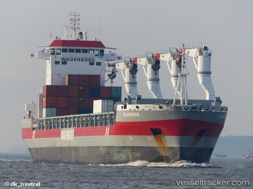
 Taagborg
Current Status
Where is the vessel?
Taagborg is currently in 16 nm NE of Pointe-aux-Outardes, based on AIS data received about 1d ago.
Latest AIS update:
Current position: 49.23420° N, 68.12916° W (16 nm NE of Pointe-aux-Outardes)
Average speed (last 7 days): Loading…
Average speed (last 30 days): Loading…
Vessel profile: Taagborg is a Multi Purpose Carrier with dimensions 173m x 173m.
This page combines live AIS, route history, probable destination signals, nearby traffic, and port activity for practical vessel monitoring.
The current position of vessel Taagborg is 49.23420 lat / -68.12916 lng. Updated: 2026-04-10 08:10:52 UTCNearest reference points:
- 15 nm NW of Saint-Anaclet
- 22 nm N of Sainte-Anne-des-Monts
- Near Ile Aux Coudres
Currently sailing under the flag of Netherlands ![]()
Taagborg built in 2013 year
Deadweight:
21338 tDetails:
Live Vessel Taagborg Analytics (details, animations, etc.)
Recent AIS points (UTC):
2026-04-10 01:22:51 UTC · 49.23421, -68.12918 · SOG 0 kn · COG 3°2026-04-10 03:52:51 UTC · 49.23420, -68.12916 · SOG 0 kn · COG 3°
2026-04-10 05:30:30 UTC · 49.23419, -68.12916 · SOG 0 kn · COG -1°
2026-04-10 08:10:52 UTC · 49.23420, -68.12916 · SOG 0 kn · COG 2°