 vesseltracker.com
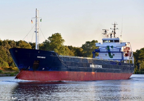
 ROCAMAR
Current Status
Where is the vessel?
ROCAMAR is currently in 11 nm NW of Tofta, based on AIS data received about 2h ago.
Latest AIS update:
Current position: 57.59878° N, 17.83262° E (11 nm NW of Tofta)
Average speed (last 7 days): Loading…
Average speed (last 30 days): Loading…
Vessel profile: ROCAMAR is a General Cargo with dimensions m x m.
This page combines live AIS, route history, probable destination signals, nearby traffic, and port activity for practical vessel monitoring.
The current position of vessel ROCAMAR is 57.59878 lat / 17.83262 lng. Updated: 2026-03-29 01:23:03 UTCNearest reference points:
- Near Stora Vika
- Near SODERTALJE
- Near Segeltorp
Currently sailing under the flag of Portugal ![]()
Details:
Live Vessel ROCAMAR Analytics (details, animations, etc.)
Recent AIS points (UTC):
2026-03-28 19:35:03 UTC · 58.47065, 18.76794 · SOG 10.2 kn · COG 210°2026-03-28 21:37:22 UTC · 58.17109, 18.43694 · SOG 10.4 kn · COG 208°
2026-03-29 00:15:43 UTC · 57.77050, 18.00914 · SOG 10.3 kn · COG 207°
2026-03-29 01:23:03 UTC · 57.59878, 17.83262 · SOG 10.6 kn · COG 209°