 vesseltracker.com
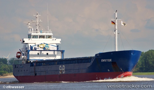
Estemar
Current StatusWhere is the vessel?
Estemar is currently in 24 nm SE of Mörbylånga, based on AIS data received about 1h ago.
Latest AIS update:
Current position: 56.23197° N, 16.90364° E (24 nm SE of Mörbylånga)
Average speed (last 7 days): Loading…
Average speed (last 30 days): Loading…
Vessel profile: Estemar is a Multi Purpose Carrier with dimensions 14m x 99m.
This page combines live AIS, route history, probable destination signals, nearby traffic, and port activity for practical vessel monitoring.
The current position of vessel Estemar is 56.23197 lat / 16.90364 lng. Updated: 2026-03-29 04:18:09 UTCNearest reference points:
- Near Karlskrona
- 31 nm NW of Ustka
- Near RONNEBY
Details:
Live Vessel Estemar Analytics (details, animations, etc.)
Recent AIS points (UTC):
2026-03-28 21:37:21 UTC · 55.72893, 15.70699 · SOG 9.2 kn · COG 60°2026-03-29 00:15:49 UTC · 55.92764, 16.31959 · SOG 9 kn · COG 62°
2026-03-29 01:23:01 UTC · 56.01116, 16.58840 · SOG 9.5 kn · COG 60°
2026-03-29 04:18:09 UTC · 56.23197, 16.90364 · SOG 9.1 kn · COG 22°