 vesseltracker.com
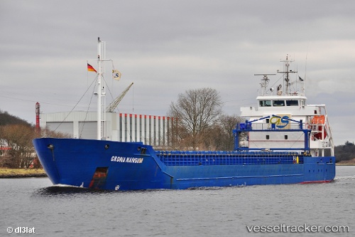
 ACEROMAR
Current Status
Where is the vessel?
ACEROMAR is currently in 18 nm E of Linanäs, based on AIS data received less than 1h ago.
Latest AIS update:
Current position: 59.75887° N, 19.72023° E (18 nm E of Linanäs)
Average speed (last 7 days): Loading…
Average speed (last 30 days): Loading…
Vessel profile: ACEROMAR is a General Cargo with dimensions m x m.
This page combines live AIS, route history, probable destination signals, nearby traffic, and port activity for practical vessel monitoring.
The current position of vessel ACEROMAR is 59.75887 lat / 19.72023 lng. Updated: 2026-04-09 04:03:52 UTCNearest reference points:
- Near MARIEHAMN
- Near Maarianhamina (Mariehamn)
- Near RAVSNAS
Currently sailing under the flag of Portugal ![]()
Details:
Live Vessel ACEROMAR Analytics (details, animations, etc.)
Recent AIS points (UTC):
2026-04-08 19:24:42 UTC · 60.71194, 17.27659 · SOG 9.3 kn · COG 35°2026-04-08 23:40:53 UTC · 60.51293, 18.92177 · SOG 12 kn · COG 116°
2026-04-09 01:33:33 UTC · 60.15018, 19.06249 · SOG 12.5 kn · COG 137°
2026-04-09 04:03:52 UTC · 59.75887, 19.72023 · SOG 12.3 kn · COG 141°