 vesseltracker.com
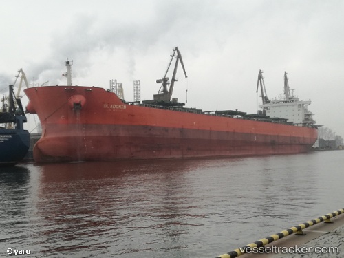
 SERALIA
Current Status
Where is the vessel?
SERALIA is currently in 15 nm W of PORT DICKSON, based on AIS data received about 2h ago.
Latest AIS update:
Current position: 2.47551° N, 101.53905° E (15 nm W of PORT DICKSON)
Average speed (last 7 days): Loading…
Average speed (last 30 days): Loading…
Vessel profile: SERALIA is a Bulk Carrier with dimensions m x m.
This page combines live AIS, route history, probable destination signals, nearby traffic, and port activity for practical vessel monitoring.
The current position of vessel SERALIA is 2.47551 lat / 101.53905 lng. Updated: 2026-03-28 00:03:59 UTCNearest reference points:
- 13 nm SW of PORT DICKSON
- Near PORT DICKSON
- 14 nm SW of Banting
Currently sailing under the flag of Panama ![]()
Details:
Live Vessel SERALIA Analytics (details, animations, etc.)
Recent AIS points (UTC):
2026-03-27 18:18:30 UTC · 2.97756, 100.70509 · SOG 11 kn · COG 116°2026-03-27 19:50:07 UTC · 2.82279, 100.91491 · SOG 8 kn · COG -1°
2026-03-27 21:37:29 UTC · 2.68173, 101.17881 · SOG 10.5 kn · COG 117°
2026-03-28 00:03:59 UTC · 2.47551, 101.53905 · SOG 9.9 kn · COG 127°