 vesseltracker.com
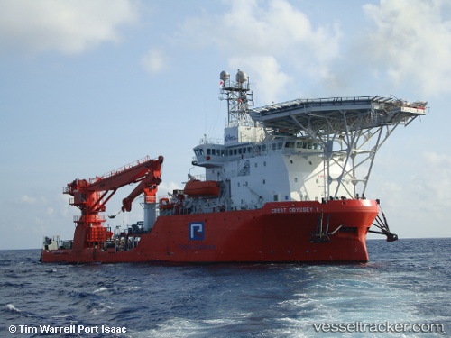
 SOUTHERN NOVA
Current Status
Where is the vessel?
SOUTHERN NOVA is currently in Near CHANGI, based on AIS data received about 1h ago.
Latest AIS update:
Current position: 1.38500° N, 103.96667° E (Near CHANGI)
Average speed (last 7 days): Loading…
Average speed (last 30 days): Loading…
Vessel profile: SOUTHERN NOVA is a Diving Support Vessel with dimensions m x m.
This page combines live AIS, route history, probable destination signals, nearby traffic, and port activity for practical vessel monitoring.
The current position of vessel SOUTHERN NOVA is 1.38500 lat / 103.96667 lng. Updated: 2026-03-29 07:40:41 UTCNearest reference points:
- Near CHANGI
- Near Johor
- Near Tampines
Currently sailing under the flag of Liberia ![]()
Details:
Live Vessel SOUTHERN NOVA Analytics (details, animations, etc.)
Recent AIS points (UTC):
2026-03-29 00:28:43 UTC · 1.38500, 103.96667 · SOG 0 kn · COG -1°2026-03-29 03:34:40 UTC · 1.38531, 103.96682 · SOG 0 kn · COG -1°
2026-03-29 05:43:42 UTC · 1.38500, 103.96667 · SOG 0 kn · COG -1°
2026-03-29 07:40:41 UTC · 1.38500, 103.96667 · SOG 0 kn · COG -1°