 vesseltracker.com
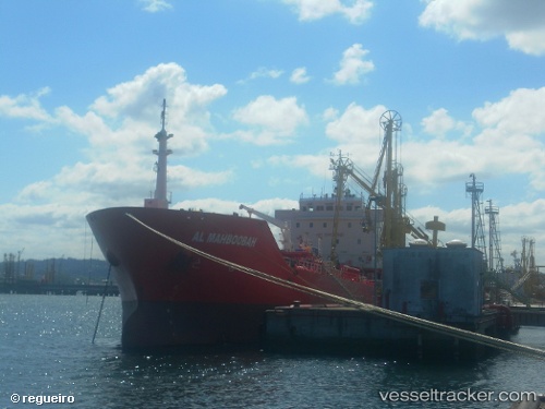
 GALBOT
Current Status
Where is the vessel?
GALBOT is currently in Near Memória, based on AIS data received about 1h ago.
Latest AIS update:
Current position: 38.68389° N, 9.18840° W (Near Memória)
Average speed (last 7 days): Loading…
Average speed (last 30 days): Loading…
Vessel profile: GALBOT is a Oil/Chemical Tanker with dimensions m x m.
This page combines live AIS, route history, probable destination signals, nearby traffic, and port activity for practical vessel monitoring.
The current position of vessel GALBOT is 38.68389 lat / -9.18840 lng. Updated: 2026-03-27 02:21:06 UTCNearest reference points:
- Near Memória
- Near Lisboa
- Near COVA DA PIEDADE
Currently sailing under the flag of Malta ![]()
Details:
Live Vessel GALBOT Analytics (details, animations, etc.)
Recent AIS points (UTC):
2026-03-26 20:08:59 UTC · 38.68451, -9.18610 · SOG 0 kn · COG 281°2026-03-26 21:53:59 UTC · 38.68408, -9.18835 · SOG 0 kn · COG 81°
2026-03-27 00:02:53 UTC · 38.68375, -9.18826 · SOG 0 kn · COG 71°
2026-03-27 02:21:06 UTC · 38.68389, -9.18840 · SOG 0 kn · COG 80°