 vesseltracker.com
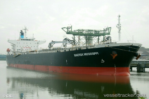
 MFM MISSISSIPPI
Current Status
Where is the vessel?
MFM MISSISSIPPI is currently in 54 nm NW of Nouadhibou, based on AIS data received less than 1h ago.
Latest AIS update:
Current position: 21.52466° N, 17.67018° W (54 nm NW of Nouadhibou)
Average speed (last 7 days): Loading…
Average speed (last 30 days): Loading…
Vessel profile: MFM MISSISSIPPI is a Oil Products Tanker with dimensions m x m.
This page combines live AIS, route history, probable destination signals, nearby traffic, and port activity for practical vessel monitoring.
The current position of vessel MFM MISSISSIPPI is 21.52466 lat / -17.67018 lng. Updated: 2026-03-29 05:53:15 UTCNearest reference points:
- 41 nm NW of Nouadhibou
- Near Nouadhibou
- 108 nm SW of Port Etienne
Currently sailing under the flag of Marshall Islands ![]()
Details:
Live Vessel MFM MISSISSIPPI Analytics (details, animations, etc.)
Recent AIS points (UTC):
2026-03-29 00:08:08 UTC · 20.59653, -18.03230 · SOG 12.3 kn · COG 5°2026-03-29 01:16:30 UTC · 20.82971, -17.99647 · SOG 12.4 kn · COG 22°
2026-03-29 03:24:47 UTC · 21.05204, -17.90043 · SOG 12.6 kn · COG 27°
2026-03-29 05:53:15 UTC · 21.52466, -17.67018 · SOG 12.4 kn · COG 27°