 vesseltracker.com
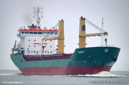
 KARSOY
Current Status
Where is the vessel?
KARSOY is currently in 52 nm S of Bredevoort, based on AIS data received about 3h ago.
Latest AIS update:
Current position: 51.09181° N, 6.49144° W (52 nm S of Bredevoort)
Average speed (last 7 days): Loading…
Average speed (last 30 days): Loading…
Vessel profile: KARSOY is a General Cargo with dimensions m x m.
This page combines live AIS, route history, probable destination signals, nearby traffic, and port activity for practical vessel monitoring.
The current position of vessel KARSOY is 51.09181 lat / -6.49144 lng. Updated: 2026-03-27 01:15:56 UTCNearest reference points:
- 45 nm SE of Covent Garden
- 10 nm NW of Grampound
- Near Isles of Scilly
Currently sailing under the flag of Liberia ![]()
Details:
Live Vessel KARSOY Analytics (details, animations, etc.)
Recent AIS points (UTC):
2026-03-26 20:11:49 UTC · 51.94887, -6.27982 · SOG 10.8 kn · COG 188°2026-03-26 20:28:26 UTC · 51.89870, -6.29251 · SOG 10.8 kn · COG 189°
2026-03-27 00:00:01 UTC · 51.30355, -6.43924 · SOG 9.9 kn · COG 190°
2026-03-27 01:15:56 UTC · 51.09181, -6.49144 · SOG 10.3 kn · COG 192°