 vesseltracker.com
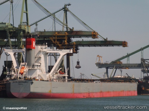
 CAPE NORMANDY
Current Status
Where is the vessel?
CAPE NORMANDY is currently in 47 nm SE of Sepanjang Terminal, based on AIS data received about 1h ago.
Latest AIS update:
Current position: 7.77333° S, 116.29333° E (47 nm SE of Sepanjang Terminal)
Average speed (last 7 days): Loading…
Average speed (last 30 days): Loading…
Vessel profile: CAPE NORMANDY is a Bulk Carrier with dimensions 292m x 292m.
This page combines live AIS, route history, probable destination signals, nearby traffic, and port activity for practical vessel monitoring.
The current position of vessel CAPE NORMANDY is -7.77333 lat / 116.29333 lng. Updated: 2026-04-01 05:52:33 UTCNearest reference points:
- 29 nm N of MANGGIS
- Near LEMBAR
- 37 nm E of Pagerungan
Currently sailing under the flag of Japan ![]()
CAPE NORMANDY built in 2012 year
Deadweight:
180646 tDetails:
Live Vessel CAPE NORMANDY Analytics (details, animations, etc.)
Recent AIS points (UTC):
2026-03-31 23:23:31 UTC · -8.83901, 115.72152 · SOG 8.6 kn · COG 16°2026-04-01 02:24:12 UTC · -8.36265, 115.89244 · SOG 11.2 kn · COG 20°
2026-04-01 03:38:13 UTC · -8.15247, 116.01733 · SOG 12.2 kn · COG 31°
2026-04-01 05:52:33 UTC · -7.77333, 116.29333 · SOG 12 kn · COG -1°