 vesseltracker.com
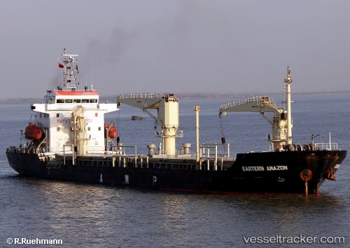
 CEMAL REIS
Current Status
Where is the vessel?
CEMAL REIS is currently in 11 nm E of Brodersby bei Kappeln/Schlei, based on AIS data received about 1h ago.
Latest AIS update:
Current position: 54.63730° N, 10.31307° E (11 nm E of Brodersby bei Kappeln/Schlei)
Average speed (last 7 days): Loading…
Average speed (last 30 days): Loading…
Vessel profile: CEMAL REIS is a Not available with dimensions m x m.
This page combines live AIS, route history, probable destination signals, nearby traffic, and port activity for practical vessel monitoring.
The current position of vessel CEMAL REIS is 54.63730 lat / 10.31307 lng. Updated: 2026-04-16 23:25:54 UTCNearest reference points:
- 10 nm E of Brodersby bei Kappeln/Schlei
- Near Wendtorf
- Near FISCHENHAFEN LABOE
Currently sailing under the flag of Barbados ![]()
Details:
Live Vessel CEMAL REIS Analytics (details, animations, etc.)
Recent AIS points (UTC):
2026-04-16 16:15:11 UTC · 54.36865, 10.11653 · SOG 0 kn · COG 101°2026-04-16 20:17:43 UTC · 54.36843, 10.12627 · SOG 0.5 kn · COG 104°
2026-04-16 21:58:24 UTC · 54.40878, 10.20838 · SOG 10.1 kn · COG 18°
2026-04-16 23:25:54 UTC · 54.63730, 10.31307 · SOG 10.6 kn · COG 4°