 vesseltracker.com
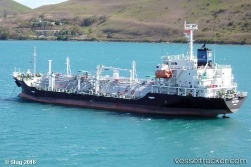
 GAS XANADU
Current Status
Where is the vessel?
GAS XANADU is currently in 26 nm E of CARBONERAS, based on AIS data received about 1h ago.
Latest AIS update:
Current position: 36.88500° N, 1.37333° W (26 nm E of CARBONERAS)
Average speed (last 7 days): Loading…
Average speed (last 30 days): Loading…
Vessel profile: GAS XANADU is a Lpg Tanker with dimensions m x m.
This page combines live AIS, route history, probable destination signals, nearby traffic, and port activity for practical vessel monitoring.
The current position of vessel GAS XANADU is 36.88500 lat / -1.37333 lng. Updated: 2026-03-28 19:43:52 UTCNearest reference points:
- 25 nm SE of AGUILAS
- 20 nm SE of CARBONERAS
- 23 nm S of Rejected
Currently sailing under the flag of Portugal ![]()
Details:
Live Vessel GAS XANADU Analytics (details, animations, etc.)
Recent AIS points (UTC):
2026-03-28 14:07:47 UTC · 37.65094, -0.24478 · SOG 13.1 kn · COG 219°2026-03-28 16:10:51 UTC · 37.32500, -0.60833 · SOG 12 kn · COG -1°
2026-03-28 18:19:50 UTC · 37.05667, -1.08167 · SOG 12 kn · COG -1°
2026-03-28 19:43:52 UTC · 36.88500, -1.37333 · SOG 12 kn · COG -1°