 vesseltracker.com
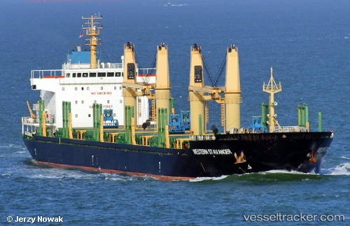
 AVRA 1
Current Status
Where is the vessel?
AVRA 1 is currently in 68 nm SW of Moho Bilondo, based on AIS data received about 2h ago.
Latest AIS update:
Current position: 6.77333° S, 9.49833° E (68 nm SW of Moho Bilondo)
Average speed (last 7 days): Loading…
Average speed (last 30 days): Loading…
Vessel profile: AVRA 1 is a Bulk Carrier with dimensions m x m.
This page combines live AIS, route history, probable destination signals, nearby traffic, and port activity for practical vessel monitoring.
The current position of vessel AVRA 1 is -6.77333 lat / 9.49833 lng. Updated: 2026-03-28 15:46:07 UTCNearest reference points:
- Near N'Kossa Terminal
- 11 nm W of Cabinda
- Near Pointe Noire
Currently sailing under the flag of Marshall Islands ![]()
Details:
Live Vessel AVRA 1 Analytics (details, animations, etc.)
Recent AIS points (UTC):
2026-03-28 09:35:46 UTC · -7.28254, 10.34740 · SOG 9.7 kn · COG 302°2026-03-28 12:30:37 UTC · -7.03474, 9.93589 · SOG 9.7 kn · COG 305°
2026-03-28 14:02:05 UTC · -6.90629, 9.72509 · SOG 9.2 kn · COG 302°
2026-03-28 15:46:07 UTC · -6.77333, 9.49833 · SOG 9 kn · COG -1°