 vesseltracker.com
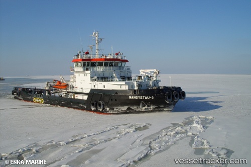
Mangystau 3
Current StatusWhere is the vessel?
Mangystau 3 is currently in 12 nm NW of Krasnovodsk, based on AIS data received about 1h ago.
Latest AIS update:
Current position: 40.15602° N, 52.76662° E (12 nm NW of Krasnovodsk)
Average speed (last 7 days): Loading…
Average speed (last 30 days): Loading…
Vessel profile: Mangystau 3 is a [tug.offshore_tug_supply] with dimensions 16m x 66m.
This page combines live AIS, route history, probable destination signals, nearby traffic, and port activity for practical vessel monitoring.
The current position of vessel Mangystau 3 is 40.15602 lat / 52.76662 lng. Updated: 2026-04-19 01:51:21 UTCNearest reference points:
- Near Krasnovodsk
- Near Hazar
- 42 nm W of Hazar
Details:
Live Vessel Mangystau 3 Analytics (details, animations, etc.)
Recent AIS points (UTC):
2026-04-18 20:09:43 UTC · 40.15602, 52.76661 · SOG 0 kn · COG 183°2026-04-18 22:18:41 UTC · 40.15602, 52.76662 · SOG 0 kn · COG 183°
2026-04-18 23:39:43 UTC · 40.15601, 52.76661 · SOG 0 kn · COG 183°
2026-04-19 01:51:21 UTC · 40.15602, 52.76662 · SOG 0 kn · COG 183°