 vesseltracker.com
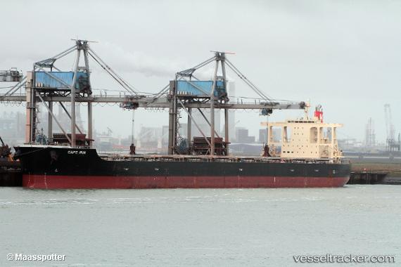
Cape Iris
Current StatusWhere is the vessel?
Cape Iris is currently in 17 nm NW of Withnell Bay, based on AIS data received about 1h ago.
Latest AIS update:
Current position: 20.40641° S, 116.55079° E (17 nm NW of Withnell Bay)
Average speed (last 7 days): Loading…
Average speed (last 30 days): Loading…
Vessel profile: Cape Iris is a Bulk Carrier with dimensions 45m x 293m.
This page combines live AIS, route history, probable destination signals, nearby traffic, and port activity for practical vessel monitoring.
The current position of vessel Cape Iris is -20.40641 lat / 116.55079 lng. Updated: 2026-04-09 02:16:33 UTCNearest reference points:
- 11 nm E of Port Walcot
- 116 nm NE of Mutineer
Details:
Live Vessel Cape Iris Analytics (details, animations, etc.)
Recent AIS points (UTC):
2026-04-08 15:32:41 UTC · -20.40633, 116.55084 · SOG 0.3 kn · COG 257°2026-04-08 15:57:17 UTC · -20.40672, 116.55100 · SOG 0.3 kn · COG -1°
2026-04-08 15:57:17 UTC · -20.40672, 116.55100 · SOG 0.3 kn · COG -1°
2026-04-09 02:16:33 UTC · -20.40641, 116.55079 · SOG 0 kn · COG -1°