 vesseltracker.com
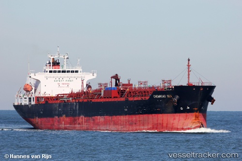
 Chemroad Sea
Current Status
Where is the vessel?
Chemroad Sea is currently in 79 nm E of Gregory' Lake Apt (Nuwara Eliya), based on AIS data received about 1h ago.
Latest AIS update:
Current position: 8.41134° N, 82.55248° E (79 nm E of Gregory' Lake Apt (Nuwara Eliya))
Average speed (last 7 days): Loading…
Average speed (last 30 days): Loading…
Vessel profile: Chemroad Sea is a Chemical Oil Products Tanker with dimensions 170m x 172m.
This page combines live AIS, route history, probable destination signals, nearby traffic, and port activity for practical vessel monitoring.
The current position of vessel Chemroad Sea is 8.41134 lat / 82.55248 lng. Updated: 2026-04-01 06:19:48 UTCNearest reference points:
- 67 nm E of Oluvil
- 42 nm E of Konwelana
- 40 nm E of Konwelana
Currently sailing under the flag of Panama ![]()
Chemroad Sea built in 2011 year
Deadweight:
33560 tDetails:
Live Vessel Chemroad Sea Analytics (details, animations, etc.)
Recent AIS points (UTC):
2026-04-01 00:15:41 UTC · 7.05675, 82.50339 · SOG 12.9 kn · COG 20°2026-04-01 03:03:49 UTC · 7.67748, 82.54108 · SOG 13.3 kn · COG 3°
2026-04-01 03:03:49 UTC · 7.67748, 82.54108 · SOG 13.3 kn · COG 3°
2026-04-01 06:19:48 UTC · 8.41134, 82.55248 · SOG 13.5 kn · COG 356°