 vesseltracker.com
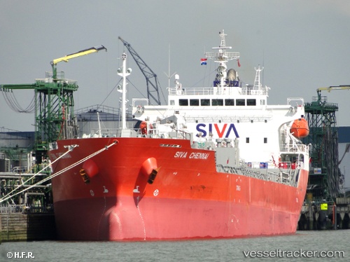
 SONGA NEPTUNE
Current Status
Where is the vessel?
SONGA NEPTUNE is currently in 18 nm W of Precious Cargo Customs Clearance Centre/Bandra, based on AIS data received less than 1h ago.
Latest AIS update:
Current position: 19.06991° N, 72.52157° E (18 nm W of Precious Cargo Customs Clearance Centre/Bandra)
Average speed (last 7 days): Loading…
Average speed (last 30 days): Loading…
Vessel profile: SONGA NEPTUNE is a Oil/Chemical Tanker with dimensions m x m.
This page combines live AIS, route history, probable destination signals, nearby traffic, and port activity for practical vessel monitoring.
The current position of vessel SONGA NEPTUNE is 19.06991 lat / 72.52157 lng. Updated: 2026-04-23 00:14:42 UTCNearest reference points:
- Near HNB SEZ/Mumbai
- Near Mumbai
- Near NHAVA SHEVA
Currently sailing under the flag of Marshall Islands ![]()
Details:
Live Vessel SONGA NEPTUNE Analytics (details, animations, etc.)
Recent AIS points (UTC):
2026-04-22 19:21:28 UTC · 19.07045, 72.52212 · SOG 0.1 kn · COG 300°2026-04-22 22:03:05 UTC · 19.07081, 72.52224 · SOG 0.1 kn · COG -1°
2026-04-22 22:36:28 UTC · 19.07027, 72.52201 · SOG 0 kn · COG 303°
2026-04-23 00:14:42 UTC · 19.06991, 72.52157 · SOG 0 kn · COG -1°