 vesseltracker.com
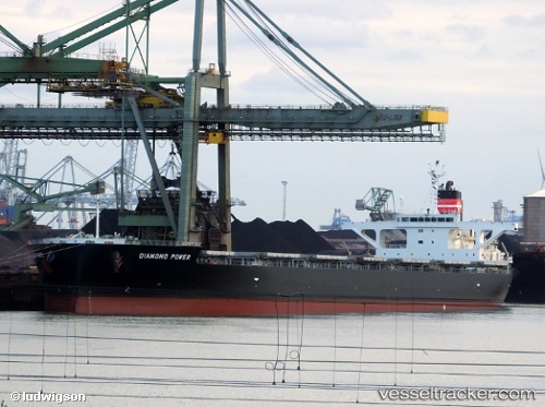
 BARDONNEX
Current Status
Where is the vessel?
BARDONNEX is currently in 25 nm W of Westport/Port Klang, based on AIS data received about 1h ago.
Latest AIS update:
Current position: 2.92067° N, 100.87678° E (25 nm W of Westport/Port Klang)
Average speed (last 7 days): Loading…
Average speed (last 30 days): Loading…
Vessel profile: BARDONNEX is a Bulk Carrier with dimensions m x m.
This page combines live AIS, route history, probable destination signals, nearby traffic, and port activity for practical vessel monitoring.
The current position of vessel BARDONNEX is 2.92067 lat / 100.87678 lng. Updated: 2026-03-28 07:33:57 UTCNearest reference points:
- 21 nm SW of Pulau Indah
- Near Westport/Port Klang
- Near Pulau Indah
Currently sailing under the flag of Marshall Islands ![]()
Details:
Live Vessel BARDONNEX Analytics (details, animations, etc.)
Recent AIS points (UTC):
2026-03-28 01:36:56 UTC · 3.73083, 100.45132 · SOG 10 kn · COG 178°2026-03-28 03:54:43 UTC · 3.35167, 100.49833 · SOG 9 kn · COG -1°
2026-03-28 05:54:43 UTC · 3.08500, 100.67167 · SOG 10 kn · COG -1°
2026-03-28 07:33:57 UTC · 2.92067, 100.87678 · SOG 9.2 kn · COG 126°