 vesseltracker.com
 FORTUNE ISLAND
Current Status
Where is the vessel?
FORTUNE ISLAND is currently in 94 nm S of Morro Redondo, based on AIS data received less than 1h ago.
Latest AIS update:
Current position: 26.54242° N, 114.71249° W (94 nm S of Morro Redondo)
Average speed (last 7 days): Loading…
Average speed (last 30 days): Loading…
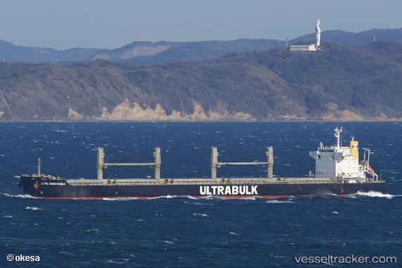
Vessel profile: FORTUNE ISLAND is a Bulk Carrier with dimensions 199m x 32m.
This page combines live AIS, route history, probable destination signals, nearby traffic, and port activity for practical vessel monitoring.
The current position of vessel FORTUNE ISLAND is 26.54242 lat / -114.71249 lng. Updated: 2026-04-01 15:33:18 UTCNearest reference points:
- 38 nm W of Loreto
Currently sailing under the flag of Hong Kong, China ![]()
FORTUNE ISLAND built in 2010 year
Deadweight:
61484 tDetails:
Live Vessel FORTUNE ISLAND Analytics (details, animations, etc.)
Recent AIS points (UTC):
2026-04-01 09:54:32 UTC · 27.49889, -115.47264 · SOG 12.4 kn · COG 148°2026-04-01 11:57:49 UTC · 27.14844, -115.20387 · SOG 12.2 kn · COG 143°
2026-04-01 14:05:19 UTC · 26.79148, -114.91938 · SOG 12.5 kn · COG 145°
2026-04-01 15:33:18 UTC · 26.54242, -114.71249 · SOG 12.6 kn · COG 146°