 vesseltracker.com
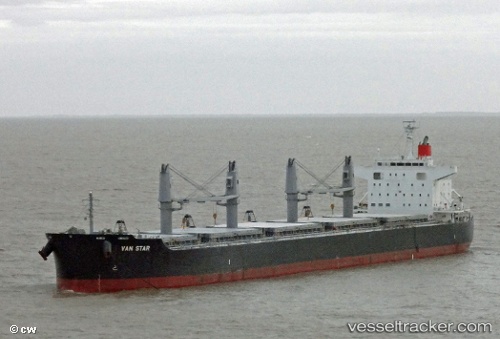
 GEOSTAR
Current Status
Where is the vessel?
GEOSTAR is currently in 51 nm SE of Kenton-on-Sea, based on AIS data received less than 1h ago.
Latest AIS update:
Current position: 34.11028° S, 27.51926° E (51 nm SE of Kenton-on-Sea)
Average speed (last 7 days): Loading…
Average speed (last 30 days): Loading…
Vessel profile: GEOSTAR is a Bulk Carrier with dimensions m x m.
This page combines live AIS, route history, probable destination signals, nearby traffic, and port activity for practical vessel monitoring.
The current position of vessel GEOSTAR is -34.11028 lat / 27.51926 lng. Updated: 2026-04-02 15:39:29 UTCNearest reference points:
- Near Deal Party
- 21 nm S of Mount Pleasant
- 23 nm E of Port Saint John's
Currently sailing under the flag of Liberia ![]()
Details:
Live Vessel GEOSTAR Analytics (details, animations, etc.)
Recent AIS points (UTC):
2026-04-02 09:44:41 UTC · -34.07027, 26.95349 · SOG 5.8 kn · COG 85°2026-04-02 12:08:16 UTC · -34.10167, 27.20333 · SOG 5 kn · COG -1°
2026-04-02 13:34:33 UTC · -34.10545, 27.34032 · SOG 4.5 kn · COG 71°
2026-04-02 15:39:29 UTC · -34.11028, 27.51926 · SOG 3.9 kn · COG 70°