 vesseltracker.com
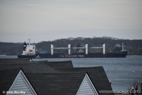
 AGIA IRINI
Current Status
Where is the vessel?
AGIA IRINI is currently in 27 nm SE of Cornwall, based on AIS data received about 1h ago.
Latest AIS update:
Current position: 49.66728° N, 3.79588° W (27 nm SE of Cornwall)
Average speed (last 7 days): Loading…
Average speed (last 30 days): Loading…
Vessel profile: AGIA IRINI is a Bulk Carrier with dimensions m x m.
This page combines live AIS, route history, probable destination signals, nearby traffic, and port activity for practical vessel monitoring.
The current position of vessel AGIA IRINI is 49.66728 lat / -3.79588 lng. Updated: 2026-04-06 15:38:29 UTCNearest reference points:
- 27 nm N of Verzy
- 12 nm S of Cornwall
- Near Verzy
Currently sailing under the flag of Marshall Islands ![]()
Details:
Live Vessel AGIA IRINI Analytics (details, animations, etc.)
Recent AIS points (UTC):
2026-04-06 10:25:10 UTC · 50.08692, -2.35212 · SOG 9.1 kn · COG 257°2026-04-06 12:20:41 UTC · 49.99377, -2.84858 · SOG 11.5 kn · COG 256°
2026-04-06 13:42:40 UTC · 49.88517, -3.24152 · SOG 12.7 kn · COG 240°
2026-04-06 15:38:29 UTC · 49.66728, -3.79588 · SOG 12.8 kn · COG 238°