 vesseltracker.com
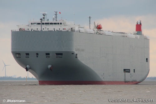
 California Highway
Current Status
Where is the vessel?
California Highway is currently in 27 nm NE of San Martín De Pusa, based on AIS data received about 2h ago.
Latest AIS update:
Current position: 40.15192° N, 4.97283° E (27 nm NE of San Martín De Pusa)
Average speed (last 7 days): Loading…
Average speed (last 30 days): Loading…
Vessel profile: California Highway is a Vehicles Carrier with dimensions 200m x 32m.
This page combines live AIS, route history, probable destination signals, nearby traffic, and port activity for practical vessel monitoring.
The current position of vessel California Highway is 40.15192 lat / 4.97283 lng. Updated: 2026-03-25 23:41:45 UTCNearest reference points:
- 42 nm NW of Mirabel
- 53 nm NE of San Martín De Pusa
- Near MAO
Currently sailing under the flag of Panama ![]()
California Highway built in 2010 year
Deadweight:
18644 tDetails:
Live Vessel California Highway Analytics (details, animations, etc.)
Recent AIS points (UTC):
2026-03-25 18:20:03 UTC · 40.91447, 3.08359 · SOG 17.9 kn · COG 117°2026-03-25 19:33:20 UTC · 40.75078, 3.51984 · SOG 18.6 kn · COG 116°
2026-03-25 20:02:32 UTC · 40.68374, 3.69665 · SOG 18.1 kn · COG 116°
2026-03-25 23:41:45 UTC · 40.15192, 4.97283 · SOG 17.7 kn · COG 115°