 vesseltracker.com
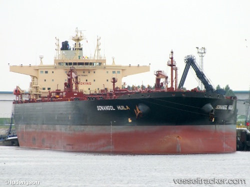
 Sonangol Huila
Current Status
Where is the vessel?
Sonangol Huila is currently in 220 nm N of Port Mathurin, based on AIS data received about 1h ago.
Latest AIS update:
Current position: 16.12429° S, 64.33177° E (220 nm N of Port Mathurin)
Average speed (last 7 days): Loading…
Average speed (last 30 days): Loading…
Vessel profile: Sonangol Huila is a Crude Oil Tanker with dimensions 273m x 48m.
This page combines live AIS, route history, probable destination signals, nearby traffic, and port activity for practical vessel monitoring.
The current position of vessel Sonangol Huila is -16.12429 lat / 64.33177 lng. Updated: 2026-03-27 23:49:55 UTCNearest reference points:
- 154 nm NE of Port Mathurin
- 241 nm N of Port Mathurin
- 353 nm NE of Port Mathurin
Currently sailing under the flag of Bahamas ![]()
Sonangol Huila built in 2012 year
Deadweight:
157871 tDetails:
Live Vessel Sonangol Huila Analytics (details, animations, etc.)
Recent AIS points (UTC):
2026-03-27 17:54:02 UTC · -16.66221, 63.34870 · SOG 10.9 kn · COG 62°2026-03-27 19:31:43 UTC · -16.51500, 63.62333 · SOG 11 kn · COG -1°
2026-03-27 22:02:38 UTC · -16.28547, 64.03947 · SOG 11 kn · COG 63°
2026-03-27 23:49:55 UTC · -16.12429, 64.33177 · SOG 10.8 kn · COG 62°