 vesseltracker.com
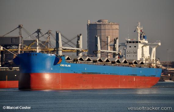
 BARRACUDA ISLAND
Current Status
Where is the vessel?
BARRACUDA ISLAND is currently in 263 nm NW of Saipan, based on AIS data received about 1h ago.
Latest AIS update:
Current position: 18.48167° N, 142.66833° E (263 nm NW of Saipan)
Average speed (last 7 days): Loading…
Average speed (last 30 days): Loading…
Vessel profile: BARRACUDA ISLAND is a Cargo with dimensions m x m.
This page combines live AIS, route history, probable destination signals, nearby traffic, and port activity for practical vessel monitoring.
The current position of vessel BARRACUDA ISLAND is 18.48167 lat / 142.66833 lng. Updated: 2026-04-08 16:00:01 UTCNearest reference points:
- Open sea, approx. 406 nm off the nearest listed port
- Open sea, approx. 414 nm off the nearest listed port
- Open sea, approx. 404 nm off the nearest listed port
Currently sailing under the flag of Singapore ![]()
Details:
Live Vessel BARRACUDA ISLAND Analytics (details, animations, etc.)
Recent AIS points (UTC):
2026-04-08 10:11:54 UTC · 18.29833, 143.82666 · SOG 11 kn · COG -1°2026-04-08 12:11:55 UTC · 18.39333, 143.43500 · SOG 11 kn · COG -1°
2026-04-08 14:02:55 UTC · 18.45167, 143.05667 · SOG 12 kn · COG -1°
2026-04-08 16:00:01 UTC · 18.48167, 142.66833 · SOG 11 kn · COG -1°