 vesseltracker.com
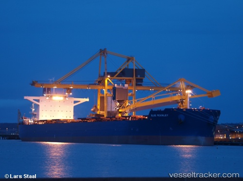
 Phar Lap
Current Status
Where is the vessel?
Phar Lap is currently in 96 nm SE of Okao, based on AIS data received about 1h ago.
Latest AIS update:
Current position: 4.68617° S, 117.59941° E (96 nm SE of Okao)
Average speed (last 7 days): Loading…
Average speed (last 30 days): Loading…
Vessel profile: Phar Lap is a Bulk Carrier with dimensions 292m x 45m.
This page combines live AIS, route history, probable destination signals, nearby traffic, and port activity for practical vessel monitoring.
The current position of vessel Phar Lap is -4.68617 lat / 117.59941 lng. Updated: 2026-04-02 19:38:12 UTCNearest reference points:
- 117 nm W of Panakukang
- 70 nm S of MEKAR PUTIH
- 74 nm NE of Pagerungan
Currently sailing under the flag of Panama ![]()
Phar Lap built in 2011 year
Deadweight:
179276 tDetails:
Live Vessel Phar Lap Analytics (details, animations, etc.)
Recent AIS points (UTC):
2026-04-02 12:11:30 UTC · -3.51555, 118.48164 · SOG 11.9 kn · COG 189°2026-04-02 15:32:50 UTC · -4.06206, 118.10470 · SOG 11.8 kn · COG -1°
2026-04-02 17:17:59 UTC · -4.35001, 117.89349 · SOG 11.8 kn · COG -1°
2026-04-02 19:38:12 UTC · -4.68617, 117.59941 · SOG 10.5 kn · COG -1°