 vesseltracker.com
 SV WAKILI
Current Status
Where is the vessel?
SV WAKILI is currently in 133 nm S of Agbami, based on AIS data received less than 1h ago.
Latest AIS update:
Current position: 1.44689° N, 4.74161° E (133 nm S of Agbami)
Average speed (last 7 days): Loading…
Average speed (last 30 days): Loading…
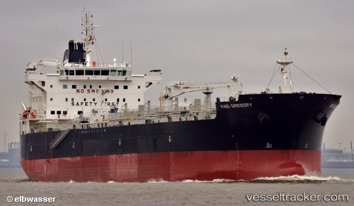
Vessel profile: SV WAKILI is a Chemical Oil Products Tanker with dimensions 183m x 32m.
This page combines live AIS, route history, probable destination signals, nearby traffic, and port activity for practical vessel monitoring.
The current position of vessel SV WAKILI is 1.44689 lat / 4.74161 lng. Updated: 2026-03-29 21:32:47 UTCNearest reference points:
- 138 nm E of SAO LUIS
Currently sailing under the flag of Liberia ![]()
SV WAKILI built in 2012 year
Deadweight:
51441 tDetails:
Live Vessel SV WAKILI Analytics (details, animations, etc.)
Recent AIS points (UTC):
2026-03-29 16:15:36 UTC · 1.06347, 3.54915 · SOG 14 kn · COG 73°2026-03-29 18:17:35 UTC · 1.21218, 4.00387 · SOG 14.2 kn · COG 70°
2026-03-29 20:12:53 UTC · 1.34932, 4.43836 · SOG 14.4 kn · COG 72°
2026-03-29 21:32:47 UTC · 1.44689, 4.74161 · SOG 14.4 kn · COG 72°