 vesseltracker.com
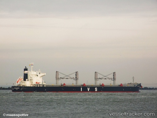
 ANASSA
Current Status
Where is the vessel?
ANASSA is currently in 172 nm W of Koiingnaas, based on AIS data received less than 1h ago.
Latest AIS update:
Current position: 30.02667° S, 13.97166° E (172 nm W of Koiingnaas)
Average speed (last 7 days): Loading…
Average speed (last 30 days): Loading…
Vessel profile: ANASSA is a Bulk Carrier with dimensions 199m x 199m.
This page combines live AIS, route history, probable destination signals, nearby traffic, and port activity for practical vessel monitoring.
The current position of vessel ANASSA is -30.02667 lat / 13.97166 lng. Updated: 2026-04-16 21:54:44 UTCNearest reference points:
- 161 nm W of Koiingnaas
- 154 nm W of Koiingnaas
- 167 nm SW of Koiingnaas
Currently sailing under the flag of Liberia ![]()
ANASSA built in 2011 year
Deadweight:
61418 tDetails:
Live Vessel ANASSA Analytics (details, animations, etc.)
Recent AIS points (UTC):
2026-04-16 13:15:42 UTC · -31.45167, 15.00833 · SOG 11 kn · COG -1°2026-04-16 16:18:42 UTC · -30.99333, 14.56833 · SOG 11 kn · COG -1°
2026-04-16 20:13:59 UTC · -30.34264, 14.10862 · SOG 11.9 kn · COG 339°
2026-04-16 21:54:44 UTC · -30.02667, 13.97166 · SOG 11 kn · COG -1°