 vesseltracker.com
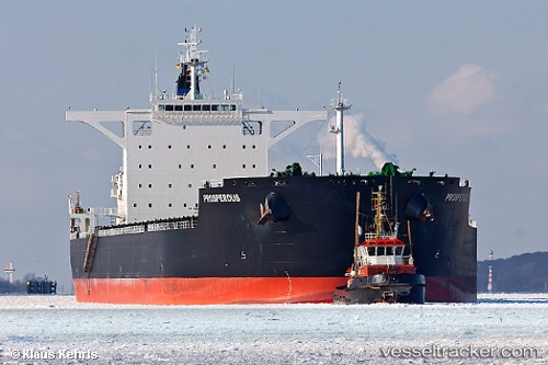
 BEAM
BEAM
Current Status
Where is the vessel?
BEAM is currently in Near CASADO, based on AIS data received less than 1h ago.
Latest AIS update:
Current position: 20.74485° N, 16.99280° W (Near CASADO)
Average speed (last 7 days): Loading…
Average speed (last 30 days): Loading…
Vessel profile: BEAM is a Bulk Carrier with dimensions m x m.
This page combines live AIS, route history, probable destination signals, nearby traffic, and port activity for practical vessel monitoring.
The current position of vessel BEAM is 20.74485 lat / -16.99280 lng. Updated: 2026-04-07 13:22:43 UTCNearest reference points:
- Near Nouadhibou
- 41 nm NW of Nouadhibou
- 108 nm SW of Port Etienne
Currently sailing under the flag of Barbados ![]()
Details:
Live Vessel BEAM Analytics (details, animations, etc.)
Recent AIS points (UTC):
2026-04-07 07:52:28 UTC · 20.74092, -16.99592 · SOG 0.1 kn · COG 25°2026-04-07 09:58:43 UTC · 20.74157, -16.99336 · SOG 0.1 kn · COG 316°
2026-04-07 11:43:41 UTC · 20.74400, -16.99270 · SOG 0 kn · COG 283°
2026-04-07 13:22:43 UTC · 20.74485, -16.99280 · SOG 0 kn · COG 262°