 vesseltracker.com
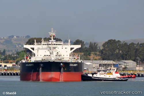
Aqualiberty
Current StatusWhere is the vessel?
Aqualiberty is currently in 357 nm NW of Isla De Pascua, based on AIS data received about 23h ago.
Latest AIS update:
Current position: 24.00610° S, 115.05255° W (357 nm NW of Isla De Pascua)
Average speed (last 7 days): Loading…
Average speed (last 30 days): Loading…
Vessel profile: Aqualiberty is a Crude Oil Tanker with dimensions 44m x 249m.
This page combines live AIS, route history, probable destination signals, nearby traffic, and port activity for practical vessel monitoring.
The current position of vessel Aqualiberty is -24.00610 lat / -115.05255 lng. Updated: 2026-04-10 07:24:03 UTCNearest reference points:
- Open sea, approx. 420 nm off the nearest listed port
- Open sea, approx. 442 nm off the nearest listed port
- Open sea, approx. 426 nm off the nearest listed port
Details:
Live Vessel Aqualiberty Analytics (details, animations, etc.)
Recent AIS points (UTC):
2026-04-10 01:18:23 UTC · -24.94481, -114.06749 · SOG 12.5 kn · COG 317°2026-04-10 03:35:56 UTC · -24.59523, -114.42777 · SOG 12.7 kn · COG 317°
2026-04-10 05:41:33 UTC · -24.27169, -114.77348 · SOG 12.9 kn · COG 316°
2026-04-10 07:24:03 UTC · -24.00610, -115.05255 · SOG 12.9 kn · COG 317°