 vesseltracker.com
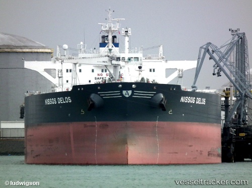
 OMERA GALAXY
Current Status
Where is the vessel?
OMERA GALAXY is currently in Near PORT DICKSON, based on AIS data received about 1h ago.
Latest AIS update:
Current position: 2.52009° N, 101.78441° E (Near PORT DICKSON)
Average speed (last 7 days): Loading…
Average speed (last 30 days): Loading…
Vessel profile: OMERA GALAXY is a Crude Oil Tanker with dimensions m x m.
This page combines live AIS, route history, probable destination signals, nearby traffic, and port activity for practical vessel monitoring.
The current position of vessel OMERA GALAXY is 2.52009 lat / 101.78441 lng. Updated: 2026-04-22 02:02:31 UTCNearest reference points:
- Near PORT DICKSON
- Near Sendayan Village
- 13 nm SW of PORT DICKSON
Currently sailing under the flag of Bangladesh ![]()
Details:
Live Vessel OMERA GALAXY Analytics (details, animations, etc.)
Recent AIS points (UTC):
2026-04-21 21:59:32 UTC · 2.52355, 101.78155 · SOG 0.1 kn · COG 135°2026-04-22 00:08:33 UTC · 2.52251, 101.78096 · SOG 0 kn · COG 105°
2026-04-22 01:29:33 UTC · 2.51986, 101.78386 · SOG 0 kn · COG 345°
2026-04-22 02:02:31 UTC · 2.52009, 101.78441 · SOG 0 kn · COG 325°