 vesseltracker.com
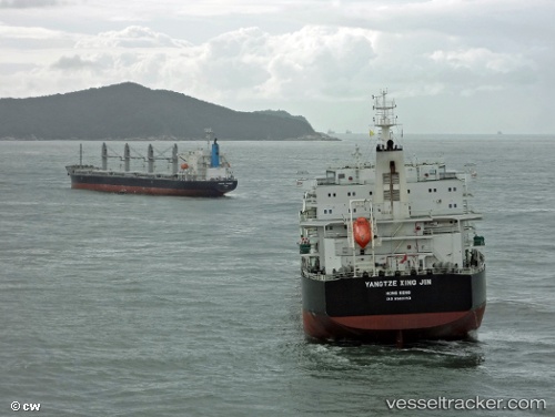
 PU AN TONG
Current Status
Where is the vessel?
PU AN TONG is currently in 31 nm S of Ruan Minor, based on AIS data received less than 1h ago.
Latest AIS update:
Current position: 49.47167° N, 5.27767° W (31 nm S of Ruan Minor)
Average speed (last 7 days): Loading…
Average speed (last 30 days): Loading…
Vessel profile: PU AN TONG is a Cargo with dimensions m x m.
This page combines live AIS, route history, probable destination signals, nearby traffic, and port activity for practical vessel monitoring.
The current position of vessel PU AN TONG is 49.47167 lat / -5.27767 lng. Updated: 2026-03-30 02:10:10 UTCNearest reference points:
- 28 nm S of Porthgwarra
- 34 nm W of Verzy
- Near Cadgwith
Currently sailing under the flag of China ![]()
Details:
Live Vessel PU AN TONG Analytics (details, animations, etc.)
Recent AIS points (UTC):
2026-03-29 19:29:22 UTC · 49.77398, -3.77674 · SOG 9.7 kn · COG 246°2026-03-29 21:37:21 UTC · 49.63848, -4.28840 · SOG 10.2 kn · COG 250°
2026-03-29 23:58:22 UTC · 49.49528, -4.82184 · SOG 8.9 kn · COG 250°
2026-03-30 02:10:10 UTC · 49.47167, -5.27767 · SOG 8 kn · COG 276°