 vesseltracker.com
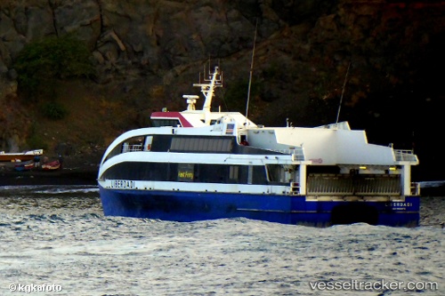
Liberdadi
Current StatusWhere is the vessel?
Liberdadi is currently in 60 nm E of Porto Grande, based on AIS data received less than 1h ago.
Latest AIS update:
Current position: 16.51515° N, 24.01540° W (60 nm E of Porto Grande)
Average speed (last 7 days): Loading…
Average speed (last 30 days): Loading…
Vessel profile: Liberdadi is a Passenger Ro Ro Cargo Ship with dimensions 10m x 45m.
This page combines live AIS, route history, probable destination signals, nearby traffic, and port activity for practical vessel monitoring.
The current position of vessel Liberdadi is 16.51515 lat / -24.01540 lng. Updated: 2026-04-17 16:01:55 UTCNearest reference points:
- 39 nm W of Ilha do Sal
- Near Ilha do Sal
- 61 nm NW of Ilha do Sal
Details:
Live Vessel Liberdadi Analytics (details, animations, etc.)
Recent AIS points (UTC):
2026-04-17 09:58:33 UTC · 16.88758, -24.99348 · SOG 0 kn · COG 172°2026-04-17 11:24:58 UTC · 16.72015, -24.89929 · SOG 17.6 kn · COG 106°
2026-04-17 13:21:16 UTC · 16.56808, -24.36028 · SOG 3.9 kn · COG 340°
2026-04-17 16:01:55 UTC · 16.51515, -24.01540 · SOG 16.9 kn · COG 69°