 vesseltracker.com
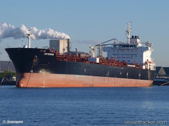
 HTM SAMURAI
Current Status
Where is the vessel?
HTM SAMURAI is currently in 32 nm W of Yanbu al-Bahr, based on AIS data received about 2h ago.
Latest AIS update:
Current position: 24.05702° N, 37.45174° E (32 nm W of Yanbu al-Bahr)
Average speed (last 7 days): Loading…
Average speed (last 30 days): Loading…
Vessel profile: HTM SAMURAI is a Oil/Chemical Tanker with dimensions m x m.
This page combines live AIS, route history, probable destination signals, nearby traffic, and port activity for practical vessel monitoring.
The current position of vessel HTM SAMURAI is 24.05702 lat / 37.45174 lng. Updated: 2026-03-29 05:31:19 UTCNearest reference points:
- 30 nm SW of Yanbu
- 35 nm S of Umm Lajj
- 74 nm SW of Yanbu
Currently sailing under the flag of Malta ![]()
Details:
Live Vessel HTM SAMURAI Analytics (details, animations, etc.)
Recent AIS points (UTC):
2026-03-28 23:22:38 UTC · 23.99823, 37.49921 · SOG 0.7 kn · COG 56°2026-03-29 01:08:49 UTC · 24.01764, 37.48481 · SOG 0.8 kn · COG 64°
2026-03-29 04:05:09 UTC · 24.03924, 37.46600 · SOG 0.9 kn · COG 91°
2026-03-29 05:31:19 UTC · 24.05702, 37.45174 · SOG 0.9 kn · COG 82°