 vesseltracker.com
 RIA
RIA
Current Status
Where is the vessel?
RIA is currently in Near Ile D’Ouessant, based on AIS data received less than 1h ago.
Latest AIS update:
Current position: 48.79880° N, 5.50625° W (Near Ile D’Ouessant)
Average speed (last 7 days): Loading…
Average speed (last 30 days): Loading…
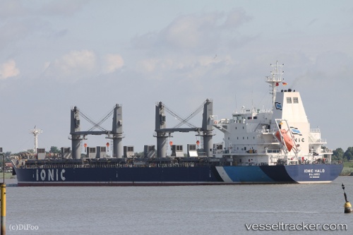
Vessel profile: RIA is a Bulk Carrier with dimensions 180m x 30m.
This page combines live AIS, route history, probable destination signals, nearby traffic, and port activity for practical vessel monitoring.
The current position of vessel RIA is 48.79880 lat / -5.50625 lng. Updated: 2026-04-04 06:25:32 UTCNearest reference points:
- 18 nm NE of Ile D’Ouessant
- 16 nm NW of Ile D’Ouessant
- Near Creac'h-Point
Currently sailing under the flag of Liberia ![]()
RIA built in 2012 year
Deadweight:
34039 tDetails:
Live Vessel RIA Analytics (details, animations, etc.)
Recent AIS points (UTC):
2026-04-03 23:46:43 UTC · 47.84635, -6.40287 · SOG 8.6 kn · COG 20°2026-04-04 01:42:32 UTC · 48.12547, -6.24355 · SOG 9.8 kn · COG 9°
2026-04-04 04:00:22 UTC · 48.47442, -5.95727 · SOG 11.3 kn · COG 45°
2026-04-04 06:25:32 UTC · 48.79880, -5.50625 · SOG 11.1 kn · COG 55°